


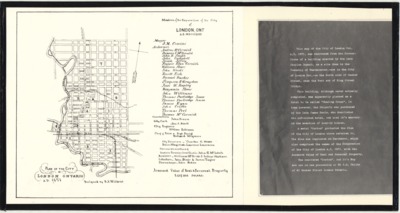
Welcome to a collection of 40 historical maps of the London, Ontario area from 1800-1900.
The print versions of these maps were digitized by the Map and Data Centre in Western Libraries at Western University.
Printing is not supported at the primary Gallery Thumbnail page. Please first navigate to a specific Image before printing.


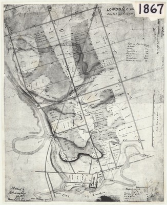
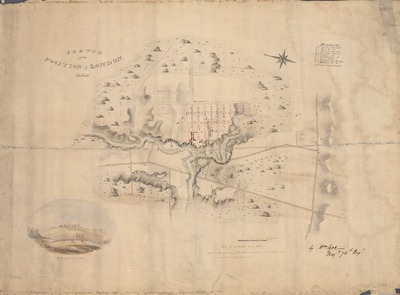
![London C.W. Sketch of Country by [R.M. Armstrong?]](https://ir.lib.uwo.ca/mdc-London-maps/1006/thumbnail.jpg "London C.W. Sketch of Country by [R.M. Armstrong?]")


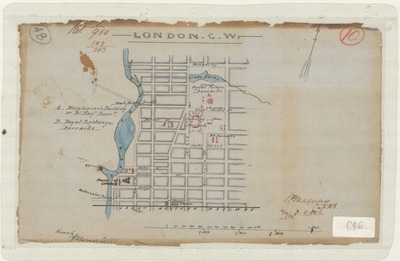
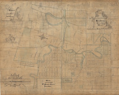
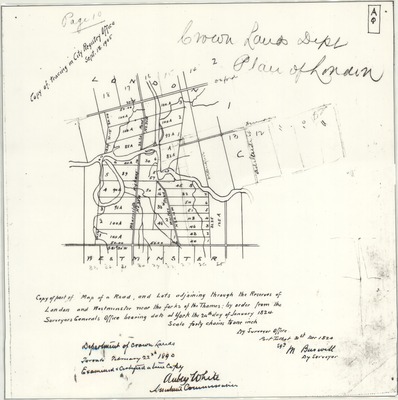
![[Crown Lands Dept Plan of London] by Mahlon Burwell](https://ir.lib.uwo.ca/mdc-London-maps/1018/thumbnail.jpg "[Crown Lands Dept Plan of London] by Mahlon Burwell")


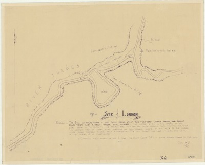
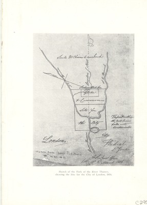
 the site for the City of London, 1816")


