


Preview
Publication Date
5-21-1845
Publisher Location
Place of publication not identified
Publisher
City of London Planning Department
Scale
1" = 400'
Geographic Area
London (Ont.)
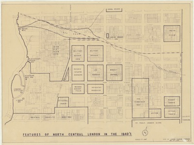
Description
Map reproduction dated 1970 outlining the historic features of North Central London in the 1840s. Includes historic locations for military reserves and barracks, churches, markets, distilleries, farmland, and more.
Physical size
51 x 37 cm
2104901.jpg (331 kB)