


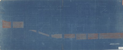
Plan of part of the City of London Ontario, showing located line of the West Ontario Pacific Railway
Preview
Publication Date
1892
Publisher Location
Place of publication not identified.
Publisher
Publisher not identified.
Scale
200 feet (?) to 1 inch
Geographic Area
London (Ont.)
Map Theme
Railroads--Surveying
Map Type
Blueprint
Description
Covers Richmond St. at left to English St. at right, and Piccadilly St. at top to Central Ave. at bottom.
Includes list of lot owners and transfers. Three transfers dated 1892.
Physical size
100 x 40 cm
CX604.jpg (143 kB)