Preview

Publication Date
1855
Geographic Area
London (Ont.)
Description
"Surveyed and Drawn by S. Peters, P.L.S. & C.E."
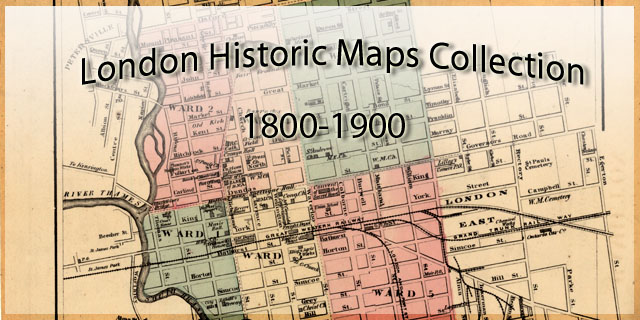
Wards 1 - 7 indicated in colour.
Includes image of Covent Garden Market in lower left corner.
Physical size
150 x 98 cm
2803401.jpg (308 kB)

