


Preview
Publication Date
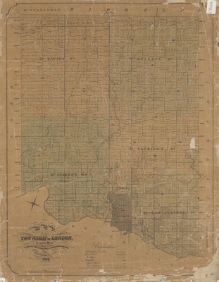
1863
Publisher Location
London, Ontario ?
Publisher
Samuel Peters, P.L.S. & C.E.
Scale
1 [cm ?] to 10 chains
Geographic Area
London (Ont.)
Description
"Map of the Township of London, Canada West, corrected from actual survey, lithographed & published by Saml. Peters, P.L.S. & C.E. 1863."
Physical size
74 x 56 cm
CX1004.jpg (504 kB)
Notes
Includes ward divisions, markings for railways, gravel roads, buildings, churches, school houses.
CX1004