


Preview
Publication Date
1852
Publisher Location
[London, Ont.?]
Publisher
Publisher not identified.
Scale
No scale given.
Geographic Area
London (Ont.)
Map Theme
Cemeteries
Map Type
Hand-drawn plan
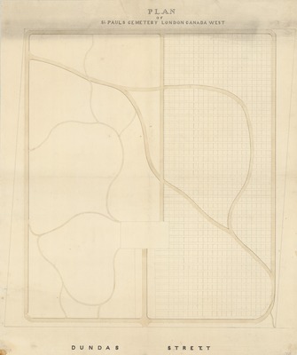
Description
Hand-drawn plan of St. Paul's Cemetery, London Canada West, circa 1852.
Physical size
75 x 62 cm
CX329.jpg (229 kB)
Notes
Plan of St. Paul’s Anglican Cemetery, formerly located at Rectory Street at Dundas Street.